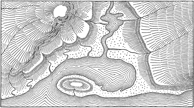
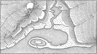
Shoreline Hill Shading by Hachures Contour Map
| View Cart ⇗ | Info
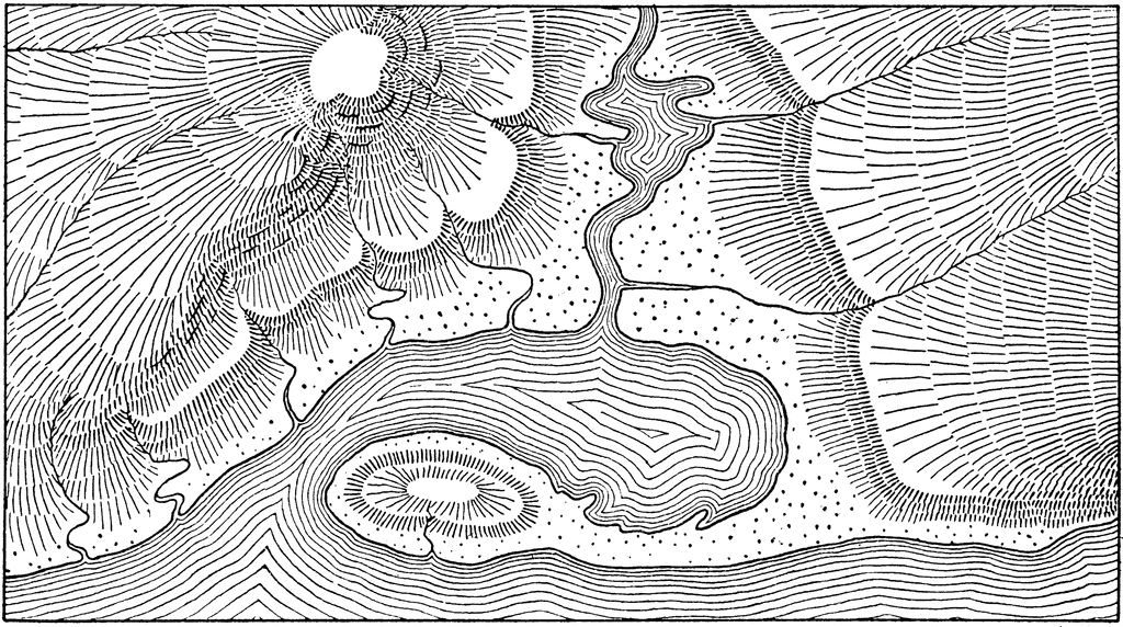
“The showing of relief by means of hill shading gives a pleasing effect but is very difficult of execution, does not give exact elevations and would not be applied on maps to be used for engineering purposes. They may sometimes be used to advantage in reconnoissance maps, or in small scale maps for illustration.” —French, 1911
Keywords
shoreline, Map of Shoreline Contour Drawing, Topography Map of Contour Drawing, Drawing Contour Map, Drawing Topographic Map, Shoreline Hill Shading by Hachures Contour Map, Shading Hachures Contour, Shading, hill shadingGalleries
TopographySource
French, Thomas E A Manual of Engineering Drawing for Students and Draftsmen (New York, NY: McGraw-Hill, 1911)
Downloads
2400×1342, 1.1 MiB
1024×572, 209.9 KiB
640×357, 106.0 KiB
320×178, 31.3 KiB