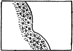
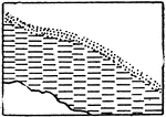
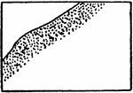
The typical representation of shores and low-water lines with gravel and rocks on a topographical map.
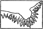
Gravel and Rocks

The typical representation of shores and low-water lines with gravel and rocks on a topographical map.

A drawing of the Mississippi River with low water.

Mississippi River, Low Water

A drawing of the Mississippi River with low water.

The typical representation of shores and low-water lines with mud on a topographical map.

Mud

The typical representation of shores and low-water lines with mud on a topographical map.

The typical representation of shores and low-water lines with rocky ledges on a topographical map.
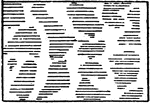
Rocky Ledges

The typical representation of shores and low-water lines with rocky ledges on a topographical map.

The typical representation of shores and low-water lines with sand on a topographical map.

Sand

The typical representation of shores and low-water lines with sand on a topographical map.

The typical representation of shore lines and low-water lines with tidal flats of any kind on a topographical map.

Tidal Flats of any Kind

The typical representation of shore lines and low-water lines with tidal flats of any kind on a topographical…