Mud
| View Cart ⇗ | Info
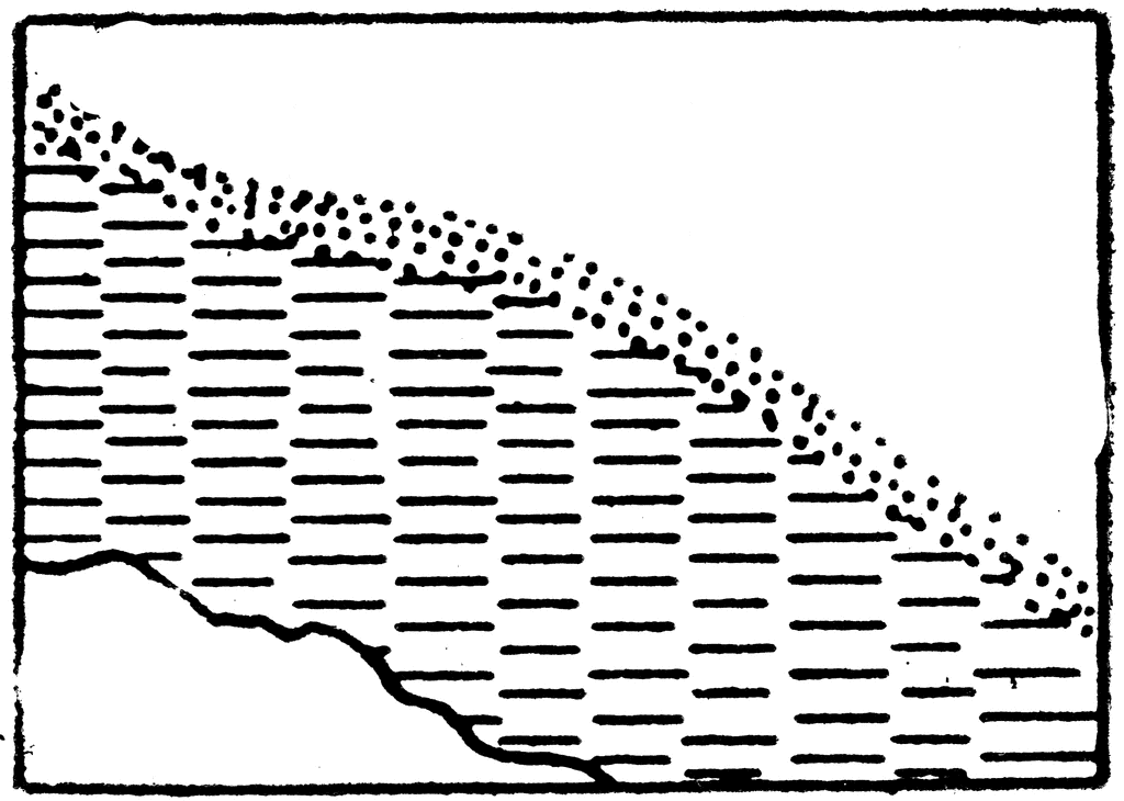
The typical representation of shores and low-water lines with mud on a topographical map.
Galleries
TopographySource
Lieutenant Colonel William E. Persons, Infantry Major Oliver S. Wood, Infantry Major Joseph Plassmeyer, Cavalry Captain Paul V. Kellogg and , Infantry First Lieutenant John E.McCammon Military Science and Tactics (, MO: The University Co-operative Store, 1922)
Downloads
2400×1711, 339.6 KiB
1024×730, 59.9 KiB
640×456, 33.4 KiB
320×228, 14.1 KiB