Maps Site map
  Maps > Europe > Regional Maps >Western Europe
Site Map  

  Record   21   to   30  of   30

Regional European maps of the Western Europe region from the Maps ETC collection. This includes physical and political maps, early history and empires, WWI maps, climate maps, relief maps, vegetation maps, population density and distribution maps, cultural maps, and economic/resource maps.
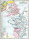
England and France, A.D. 1259
A map of England and France in 1259. Map shows the dominions governed by and dependent on Henry II and the King of France. It also shows the land belonging to Scotland and the Danish or Norse, and Irish territory....

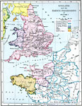
England and the French Possessions of William I, AD 1087
A map of England and Northwestern France showing the possessions of King William I in 1087. The map is color–coded to show the possessions directly under the control of William I, dominions directly governed by the King of France, dominions dep...

Arthurian Regions, AD 6th Century
A map showing the regions connected with the time of King Arthur, from "Idylls of the King," by Lord Alfred Tennyson. ...

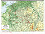
Belgium and Franco-German Frontier, October 20, 1918
A map of the French–German front movement during World War I on the Belgium and Franco–German frontier. The dashed red line shows the furthest advance of the German Army. The red line with crosses is the Hindenburg line, a system of defen...

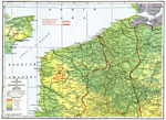
Lowlands of Northern France and Belgium, October 20, 1918
A map of the lowlands of Northern France and Belgium during WWI. This map shows the French–German front movement in 1918. The dashed red line shows the furthest advance of the German Army. The red line with crosses is the Hindenburg line, a sys...

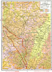
Eastern France with Alsace and Lorraine, October 20, 1918
A map of the French–German front movement during World War I in the Alsace and Lorraine region. The dashed red line shows the furthest advance of the German Army. The red line with crosses is the Hindenburg line, a system of defenses built by t...

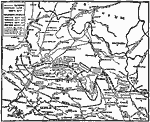
German Retreat from Paris, September 6–18, 1918
A map showing the successive German retreats during the allied "Hundred Days" offensive in the Western Front, from their extreme extent in France on September 6 to their positions on September 18, 1918. The map shows major cities, railways,...

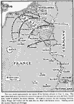
German Advance for Paris, September 6, 1914
This map shows the German advance across Belgium and Luxemburg toward Paris on September 6, 1914. quot;The heavy lines with arrow tips show the general movement of the German advance; the heavy dotted lines, routes of parallel, but lesser columns. Al...

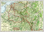
Belgium and Franco-German Frontier, September 6th, 1914 and October 20th, 1918
A map of the Belgium and Franco-German frontier in 1918. "The Solid Red Line shows the utmost advance towards the West held by the German Army, September 6th, 1914. The Broken Red Line above it shows the retreat of the Germans forced by the Alli...

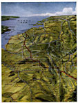
A Bird's Eye View of the Western Front, World War I
A bird's–eye view of the whole western front in 1916. It shows plainly the two gates from Germany into France, and highlights specific areas of intense fighting....

First Previous


  Maps > Europe > Regional Maps >Western Europe
Site Map  

Maps is a part of the Educational Technology Clearinghouse
Produced by the Florida Center for Instructional Technology © 2009
College of Education , University of South Florida