Maps Site map
  Maps > Europe > Regional Maps >Western Europe
Site Map  

  Record   11   to   20  of   30

Regional European maps of the Western Europe region from the Maps ETC collection. This includes physical and political maps, early history and empires, WWI maps, climate maps, relief maps, vegetation maps, population density and distribution maps, cultural maps, and economic/resource maps.

Dumas' Novels "The Forty-Five," "Marguerite de Valois," "La Dame de Monsoreau", 1802–1870
A map showing the locations mentioned in Alexandre Dumas pere's Novels "The Forty–Five," "Marguerite de Valois," "La Dame de Monsoreau"...

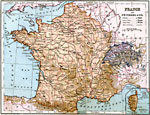
France and Switzerland, 1883
A map of France and Switzerland in 1883, showing major cities, railways, rivers, lakes, and terrain. The map includes an inset of the island of Corsica...

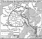
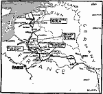
Original German Plan on the Western Front, 1914
A map to illustrate the original German plan of 1914 (a modified version of the Schlieffen Plan) on the Western Front, and shows the French–British defense lines before the fall of Namur (August 23, 1914) and just before the Battle of the Marne...

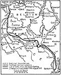
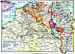
World War I: A Year of War in the West, 1914–1915
This is a map showing the boundaries and battles in the western campaign of World War I from 1914 to 1915. "Immediately after the war broke out the German strategy became clear. A quick, decisive dash into France was to be followed by the shifti...

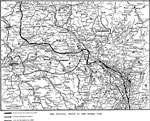
The Western Front in the World War, 1914–1918
A map of portions of France, Germany, Belgium, and Luxemburg between 1914 and 1918, showing the Western Front of World War I. The map shows the battle front on November 11, 1914, the furthest advance of the Germans during the war, and the battle line...

The Western Front in France and Belgium, 1914–1919
A map of portions of France, Germany, Belgium, and Luxemburg between 1914 and 1918, showing the Western Front of World War I. The map shows the furthest advance of the Germans in 1914, the Hindenburg Line of 1917, the furthest advance of the Germans ...

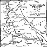
The Western Front, 1915–1918
A map showing the lines of the Western Front in World War One, between 1915–1918, including the Allied lines in March, 1915 and April, 1917, the German line at its furthest western extent in July, 1918, and the final Allied line on November 11,...

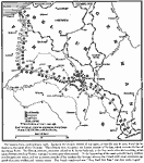
World War I Troop Positions on the Western Front, 1916
A map of portions of France, Germany, Belgium, and Luxemburg in the early summer of 1916 showing the battle line and troop positions at the time of the German offensive toward Paris. The map shows the battle line of 1915 near Verdun, and the position...

Last Drives of the Germans in WWI, 1918
A map of the final offensives of the German army from the Western Front into France in 1918. This map shows the First German Offensive (Picardy Drive, 21 March–4 April), which captured 975 square miles of territory and advanced the front 35 mil...

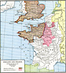
England and France after the Battle of Tenchebray, A.D. 1106
A map of southern England and western France after the Battle of Tenchebray between Henry I of England and the Duke of Normandy in 1106. The map is color–coded to show the domains of Henry I, including Normandy Maine and Bretagne in France, and...

First Previous Next Last


  Maps > Europe > Regional Maps >Western Europe
Site Map  

Maps is a part of the Educational Technology Clearinghouse
Produced by the Florida Center for Instructional Technology © 2009
College of Education , University of South Florida