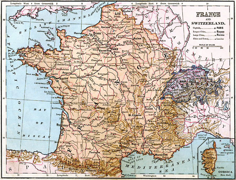
Description: A map of France and Switzerland in 1883, showing major cities, railways, rivers, lakes, and terrain. The map includes an inset of the island of Corsica
Place Names: Western Europe, Bordeaux, �Nancy, �Paris, �Lyon, �Nice, �Zurich, �Geneva, �Chur, �Berne, �Basle, �Lausann
ISO Topic Categories:
Keywords: France and Switzerland, physical, �political, physical features, country borders, Unknown, 1883
Source: , Handy Atlas of the World (New York, NY: Ivison, Blakeman, Taylor and Co., 1883) 23
Map Credit: Courtesy the private collection of Roy Winkelman |
|