|
|
|
| Maps > Globes & Multi-Continent > Regional Maps >Regional Miscellaneous |
Regional Globes & Multi-Continental maps of the Regional Miscellaneous region from the Maps ETC collection. This may include physical and political maps, early history and empires, climate maps, relief maps, vegetation maps, population density and distribution maps, cultural maps, and economic/resource maps.
|
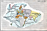
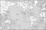
Exploration,
1500 |
|
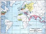
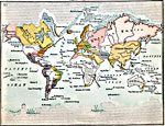
Spheres of Influence assigned to English Comercial Companies,
1625 |
|
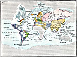
Exploration,
1700 |
|
British Empire,
1766 |
|
Military Expeditions of the United States of America,
1775–1906 |
|
World-Wide War,
1779–1781 |
|
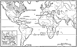
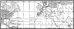
Exploration,
1800 |
|
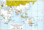
The Eastern World,
1815 |
|
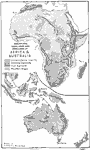
Mountains, Highlands, and Lowlands of Africa and Australia,
1888 |
|
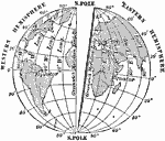
East and West Hemispheres,
1910 |
| First | Previous | Next | Last |
| Maps > Globes & Multi-Continent > Regional Maps >Regional Miscellaneous |
Maps
is a part of the
Educational Technology Clearinghouse
Produced by the
Florida Center for Instructional Technology
© 2009
College of Education
,
University of South Florida