| Maps > United States > Florida |
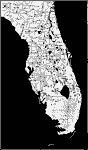 |
Principal Lakes and Coastal Features of Florida, 1911 A map showing the principal lakes and coastal features of Florida. |
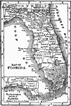 |
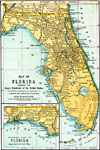
Map of Florida, Map of Florida. |
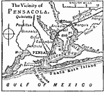 |
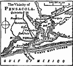
The Vicinity of Pensacola, Map of the vicinity of Pensacola, Florida. |
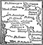 |
Seat of the Seminole War in Florida, 1835 A map showing the seat of the Seminole War in Florida. |
 |
Drawing of Florida, 1872 Illustrates instructions for drawing Florida. |
 |
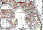
Map of Florida, 1891 A map of Florida. |
 |
Florida, 1906 Map of Florida in 1906. |
 |
Florida, 1912 A map of Florida in 1912. |
 |
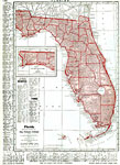
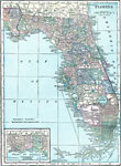
Florida, 1913 A map of the state of Florida from 1913, showing county borders and railroad routes. |
 |
Vicinity of Pensacola, 1919 A map showing the vicinity around Pensacola in 1919. |
 |
Florida, 1919 A map of the state of Florida, showing railroad routes and cities. |
 |
Florida, 1920 Map of Florida. |
 |
Florida, 1920 Physical map of Florida with a map insert of the panhandle. |
 |
Florida, 1920 The state of Florida. |
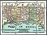 |
Northwestern Florida, 1920 The northwestern portion of Florida. |
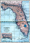 |
Florida, 1922 Physical map of Florida. |
| Maps > United States > Florida |
Maps is a part of the Educational Technology Clearinghouse
Produced by the Florida Center for Instructional Technology © 2007
College of Education, University of South Florida