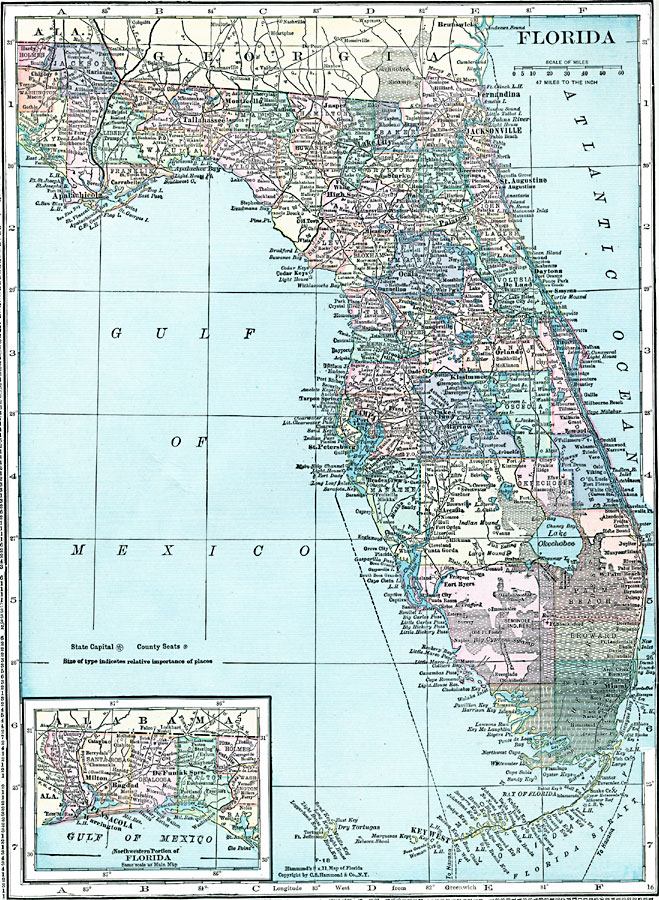
Description: Florida, with an insert of the panhandle.
Place Names: Florida, Ocala, �Miami, �Tampa, �Jacksonville, �St. Augustine, �Tallahassee, �Cedar Keys, �Bronson, �Live Oak, �Milto
ISO Topic Categories: boundaries,
inlandWaters,
location,
oceans
Keywords: Florida, physical, �political, physical features, county borders, boundaries,
inlandWaters,
location,
oceans, Unknown, 1920
Source: , Hammond's Modern Atlas of the World (New York, NY: C. S. Hammond and Company, Inc., 1920) 80
Map Credit: Courtesy the private collection of Roy Winkelman |
|