Maps Site map
  Maps > United States > Connecticut
Site Map  

  Record   21   to   30  of   44

A collection of historic and contemporary political and physical maps of Connecticut, including early settlements, geomorphology, and automobile routes.

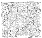
Western Connecticut, 1919
A road map of west–central Connecticut in the vicinity of Norwich from the Official Automobile Blue Book (1919), keyed to show the best auto routes, other auto routes, unreported roads, railroads, and canals....

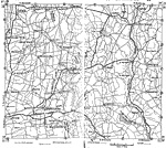
Northwestern Connecticut, 1919
A road map of northwestern Connecticut in the vicinity of Winsted from the Official Automobile Blue Book (1919), keyed to show the best auto routes, other auto routes, unreported roads, railroads, and canals....

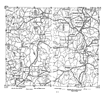
Hartford and Vicinity, 1919
A road map of central Connecticut in the vicinity of Hartford from the Official Automobile Blue Book (1919), keyed to show the best auto routes, other auto routes, unreported roads, railroads, and canals....

Manchester and Vicinity, 1919
A road map of central Connecticut in the vicinity of Manchester from the Official Automobile Blue Book (1919), keyed to show the best auto routes, other auto routes, unreported roads, railroads, and canals....

Eastern Connecticut, 1919
A road map of eastern Connecticut from the Official Automobile Blue Book (1919), keyed to show the best auto routes, other auto routes, unreported roads, railroads, and canals....

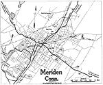
Meriden, Connecticut, 1919
A road map of the vicinity of Meriden Connecticut from the Official Automobile Blue Book (1919), showing the major roads, railroads and stations, parks, and major landmarks of the area....

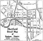
Hartford Business District, 1919
A street map of the business district of Hartford Connecticut, from the Official Automobile Blue Book (1919), showing the Park River, Capitol building, the suggested Blue Book routes in the city, and the direction of travel on one–way streets....

Waterbury, Connecticut, 1919
A road map of the vicinity of Waterbury Connecticut from the Official Automobile Blue Book (1919), showing the Naugatuck River bridges, major roads, railroads and stations, cemeteries, parks, and major landmarks of the area....

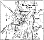
New London, Connecticut, 1919
A road map of the vicinity of New London Connecticut from the Official Automobile Blue Book (1919), showing the Thames River, Groton and neighboring towns, Fort Trumbull, bridges, major roads, railroads and stations, parks, and major landmarks of the...

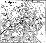
Bridgeport, Connecticut, 1919
A road map of Bridgeport, Connecticut, from the Official Automobile Blue Book (1919), showing Bridgeport, Connecticut, showing the Long Island Sound, the major roads, ferry routes, railroads and stations, parks, cemeteries, and major landmarks....

First Previous Next Last


  Maps > United States > Connecticut
Site Map  

Maps ETC is a part of the Educational Technology Clearinghouse
Produced by the Florida Center for Instructional Technology © 2009
College of Education, University of South Florida