|
|
|
| Maps > United States > Connecticut |
A collection of historic and contemporary political and physical maps of Connecticut, including early settlements, geomorphology, and automobile routes.
|
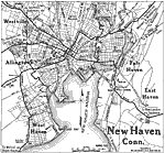
New Haven,
1919 |
|
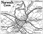
Norwalk, Connecticut,
1919 |
|
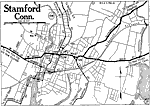
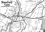
Stamford, Connecticut,
1919 |
|
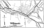
Willimantic Connecticut,
1919 |
|
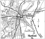
Hartford, Connecticut,
1919 |
|
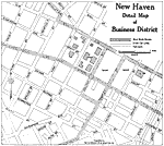
New Haven,
1919 |
|
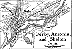
Derby, Ansonia, and Shelton,
1919 |
|
Stamford, Connecticut,
1920 |
|
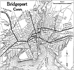
Bridgeport, Connecticut,
1920 |
|
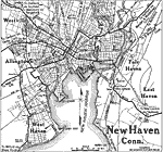
New Haven, Connecticut,
1920 |
| First | Previous | Next | Last |
| Maps > United States > Connecticut |
Maps ETC is a part of the Educational Technology Clearinghouse
Produced by the Florida Center for Instructional Technology © 2009
College of Education, University of South Florida