|
|
|
| Maps > United States > Maine |
A collection of historic and contemporary political and physical maps of Maine, including early exploration and settlement maps, and automobile route maps, for use in the K-12 classroom.
|
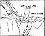
Bridgton,
1919 |
|
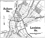
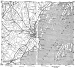
Auburn and Lewiston,
1919 |
|
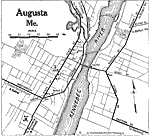
Augusta,
1919 |
|
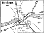
Skowhegan,
1919 |
|
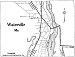
Waterville,
1919 |
|
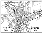
Bangor and Brewer,
1919 |
|
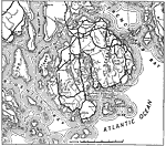
Sieur de Monts,
1919 |
|
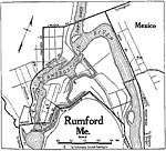
Rumford,
1919 |

|
Southeastern Maine,
1919 |
|
Eastern Maine,
1919 |
| First | Previous | Next | Last |
| Maps > United States > Maine |
Maps ETC is a part of the Educational Technology Clearinghouse
Produced by the Florida Center for Instructional Technology © 2009
College of Education, University of South Florida