Maps Site map
  Maps > United States > Massachusetts
Site Map  

  Record   61   to   70  of   113

A collection of historic and contemporary political and physical maps of Massachusetts, including early exploration and settlement maps, Revolutionary War maps, and automobile route maps.

Marlboro, 1919
A road map of Marlboro, Massachusetts, from the Official Automobile Blue Book (1919), showing the major roads, railroads and stations, parks, cemeteries, and major landmarks....

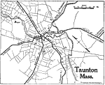
Taunton, 1919
A road map of Taunton, Massachusetts, from the Official Automobile Blue Book (1919), showing the major roads and stations, railroads, bridges, cemeteries, and major landmarks....

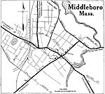
Middleboro, 1919
A road map of Middleboro, Massachusetts, from the Official Automobile Blue Book (1919), showing the Nemasket River, major roads, railroads and stations, cemeteries, and major landmarks....

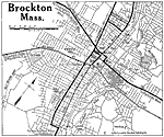
Brockton, 1919
A road map of Brockton, Massachusetts, from the Official Automobile Blue Book (1919), showing the Salisbury Plain River, major roads, railroads and stations, parks, and major landmarks....

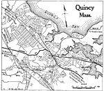
Quincy, 1919
A road map of Quincy, Massachusetts, from the Official Automobile Blue Book (1919), showing the Quincy Harbor, major roads, railroads and stations, parks, cemeteries, and major landmarks....

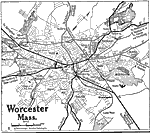
Worcester, 1919
A road map of Worcester, Massachusetts, from the Official Automobile Blue Book (1919), showing the major roads, railroads and stations, parks, cemeteries, and major landmarks....

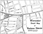
Worchester Business District, 1919
A road map detailing the business district of Worcester, Massachusetts, from the Official Automobile Blue Book (1919), showing the streets, street car lines, and the suggested Blue Book route....

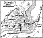
Holyoke, 1919
A road map of Holyoke, Massachusetts, from the Official Automobile Blue Book (1919), showing the Connecticut River, major roads, bridges, railroads and stations, parks, cemeteries, and major landmarks....

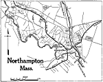
Northampton, 1919
A road map of Northampton, Massachusetts, from the Official Automobile Blue Book (1919), showing the major roads, railroads and stations, bridges, and major landmarks....

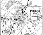
Pittsfield, 1919
A road map of Pittsfield, Massachusetts, from the Official Automobile Blue Book (1919), showing the major roads, railroads and stations, bridges, parks, cemeteries, and major landmarks....

First Previous Next Last


  Maps > United States > Massachusetts
Site Map  

Maps ETC is a part of the Educational Technology Clearinghouse
Produced by the Florida Center for Instructional Technology © 2009
College of Education, University of South Florida