|
|
|
| Maps > United States > New York |
A collection of historic and contemporary political and physical maps of New York, including early exploration and settlement maps, Revolutionary War maps, geophysical maps, and automobile route maps.
|
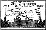
Cooperstown and Vicinity,
1920 |
|
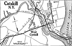
Catskill, New York,
1920 |
|
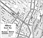
Albany, New York,
1920 |
|
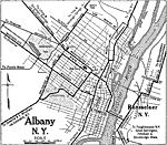
Albany and Rensselaer,
1920 |
|
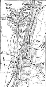
Troy, New York,
1920 |
|
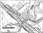
Amsterdam, New York,
1920 |
|
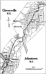
Gloversville and Johnstown,
1920 |
|
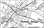
Saratoga Springs,
1920 |
|
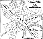
Glens Falls, New York,
1920 |
|
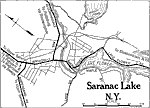
Saranac Lake, New York,
1920 |
| First | Previous | Next | Last |
| Maps > United States > New York |
Maps ETC is a part of the Educational Technology Clearinghouse
Produced by the Florida Center for Instructional Technology © 2009
College of Education, University of South Florida