|
|
|
| Maps > United States > New York |
A collection of historic and contemporary political and physical maps of New York, including early exploration and settlement maps, Revolutionary War maps, geophysical maps, and automobile route maps.
|
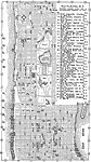
Where to Stop in New York,
1920 |
|
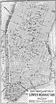
Chief Points of Interest in Lower Manhattan,
1920 |
|
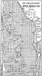
Chief Points of Interest in Upper Manhattan,
1920 |
|
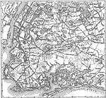
Brooklyn and Queens,
1920 |
|
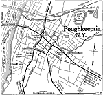
Poughkeepsie, New York,
1920 |
|
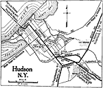
Hudson, New York,
1920 |
|
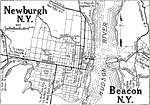
Newburgh and Beacon, New York.,
1920 |
|
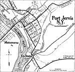
Port Jervis, New York,
1920 |
|
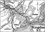
Kingston, New York,
1920 |
|
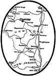
Stamford in the Catskills,
1920 |
| First | Previous | Next | Last |
| Maps > United States > New York |
Maps ETC is a part of the Educational Technology Clearinghouse
Produced by the Florida Center for Instructional Technology © 2009
College of Education, University of South Florida