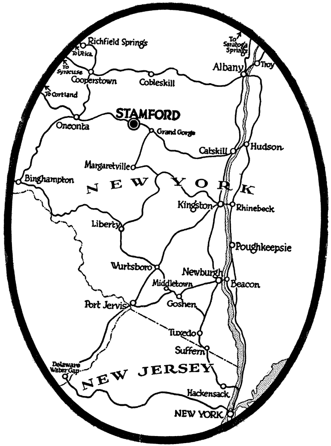
Description: A sketch map from 1920 of Stamford and New York towns along the Hudson River, showing roads.
Place Names: New York, Stamford, �Kingston, �Catskill, �Hudson, �Albany, �Binghampton,�Newburgh, �Beacon, �Poughkeepsie, �Port Jervis, �Troy,
ISO Topic Categories: boundaries,
inlandWaters,
location,
transportation
Keywords: Stamford in the Catskills, physical, �transportation, physical features, roads, boundaries,
inlandWaters,
location,
transportation, Unknown,1920
Source: , Automobile Club of Rochester (New York, NY: The Automobile Club of Rochester, 1920) 368
Map Credit: Courtesy the private collection of Roy Winkelman |
|