|
|
|
| Maps > United States > Ohio |
A collection of historic and contemporary political and physical maps of Ohio, including early history, and significant archeological sites.
|
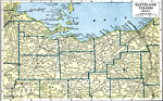
Cleveland and Toledo District,
1919 |
|
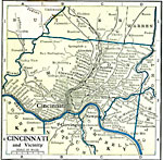
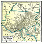
Cincinnati and Vicinity,
1919 |
|
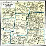
Columbus and Springfield District,
1919 |
|
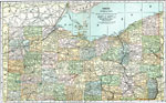
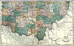
Northern Ohio,
1920 |
|
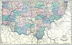
Southern Ohio,
1920 |
|
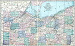
Northern Ohio,
1920 |
|
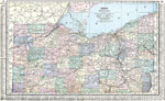
Southern Ohio,
1920 |
|
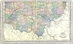
Ohio (Northern Part),
1920 |
|
Ohio (Southern Part),
1920 |
|
Cincinnati and Vicinity,
1920 |
| First | Previous | Next | Last |
| Maps > United States > Ohio |
Maps ETC is a part of the Educational Technology Clearinghouse
Produced by the Florida Center for Instructional Technology © 2009
College of Education, University of South Florida