|
|
|
| Maps > United States > Regional Maps >New Southwestern States |
|
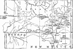
Pueblo Region of Arizona and New Mexico,
1876 |
|
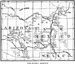
The Pueblo Region of Arizona and New Mexico,
1884 |
|
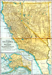
California and Nevada,
1891 |
|
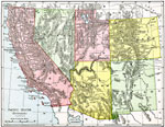
Pacific States (Southern),
1901 |
| Maps > United States > Regional Maps >New Southwestern States |
Maps
is a part of the
Educational Technology Clearinghouse
Produced by the
Florida Center for Instructional Technology
© 2009
College of Education
,
University of South Florida