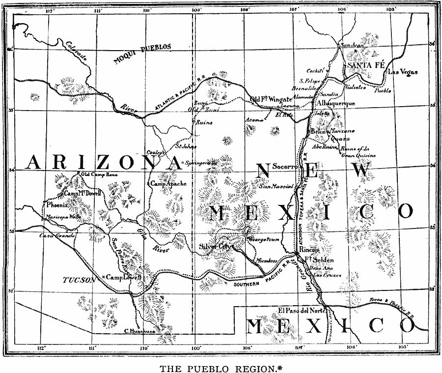
Description: A map reproduced from the works of Adolphus F. Bandelier (Fifth Report of the Archeological Institute of America, 1884) of the Arizona and New Mexico region showing the Pueblo sites in the area. The map shows cities, railroads, trails, terrain, and rivers of the area in 1884, and marks the archeological and ruins sites.
Place Names: New South States, Mexico, �United States, �Arizona, �New Mexic
ISO Topic Categories: inlandWaters,
location
Keywords: The Pueblo Region of Arizona and New Mexico, physical, kNativeAmerican, physical features, inlandWaters,
location, Unknown, 1884
Source: Justin Winsor, Narrative and Critical History of America Vol 1 (New York, NY: Houghton, Mifflin, and Company, 1889) 397
Map Credit: Courtesy the private collection of Roy Winkelman |
|