Maps Site map
  Maps > United States > Virginia
Site Map  

  Record   11   to   20  of   32

A collection of historic and contemporary political and physical maps of Virginia, including early exploration and settlement maps, Revolutionary War maps, and American Civil War maps.
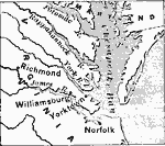
Virginia Coast, 1783
A map showing the early settlements of Virginia and part of Maryland....

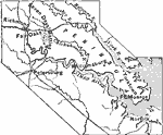
Virginia's East Peninsula, 1862
A map of eastern Virginia during the Civil War, showing towns, roads, and railroads, and the routes of the Peninsula Campaign against Richmond. ...

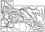
Virginia, 1862
The eastern region of Virginia, showing where the Seven Days Battle took place. ...

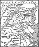
Seat of War in Virginia, 1862
A map showing the seat of the Civil War in Virginia. ...

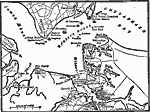
Hampton Roads, 1862
A map of Hampton Roads, where the first engagement between ironclads took place. ...

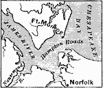
Ft. Monroe and Norfolk, 1862–1863
A map of Ft. Monroe and Norfolk, as well as Hampton Roads, where the Monitor and the Merrimac fought....

Virginia, 1865
The region where the closing days of the Civil War were fought. Appomattox Courthouse (where Lee surrendered) is also shown....

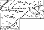
Appomattox Court House, 1865
A map of the area around Appomattox Court House, the scene of Lee's surrender, showing the routes of the Confederate retreat and Union advance. ...

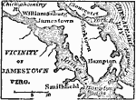
Vicinity of Jamestown, 1872
A map of the early English settlements in Virginia. Jamestown is on the north side of James river, 30 miles from its mouth, and 8 miles south–southwest from Williamsburg. ...

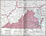
Virginia, 1906
A map from 1906 of Virginia showing the capital, Richmond, principal cities and towns, railroads, rivers, and coastal features....

First Previous Next Last


  Maps > United States > Virginia
Site Map  

Maps ETC is a part of the Educational Technology Clearinghouse
Produced by the Florida Center for Instructional Technology © 2009
College of Education, University of South Florida