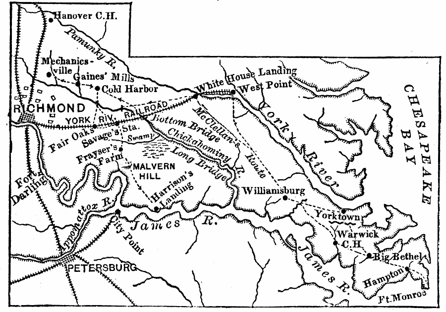
Description: A map of eastern Virginia during the Civil War, showing towns, roads, and railroads, and the routes of the Peninsula Campaign against Richmond.
Place Names: Virginia, Richmond, �Williamsburg, �Petersbur
ISO Topic Categories: intelligenceMilitary,
inlandWaters,
location,
oceans
Keywords: Virginia's East Peninsula, transportation, �political, �physical, �historical, physical features, local jurisdictions, railroads, Civil War, intelligenceMilitary,
inlandWaters,
location,
oceans, Unknown, 1862
Source: Joel Dorman Steele, A Brief History of the United States (New York, NY: American Book Company, 1885) 236
Map Credit: Courtesy the private collection of Roy Winkelman |
|
