|
|
|
| Maps > Europe > France |
Historic and contemporary maps of France, including political and physical maps, early empires, WWI, city plans, and battle plans.
|
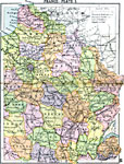
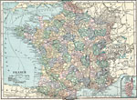
France Plate I,
1920 |
|
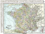
France Plate II,
1920 |
|
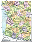
France Plate III,
1920 |
|
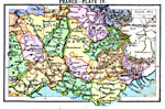
France Plate IV,
1920 |
|
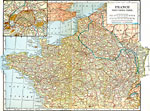
France,
1920 |
|
France,
1920 |
|
Northern France,
1920 |
|
France and Germania during the Roman Period,
44 B.C to A.D. 410 |
|
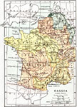
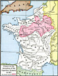
France at the Accession of the Capetian Dynasty,
A.D. 987 |
|
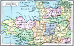
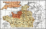
Northern France, Southern England during the Saxon-Norman Period,
AD 450 to 1400 |
| First | Previous | Next | Last |
| Maps > Europe > France |
Maps ETC is a part of the Educational Technology Clearinghouse
Produced by the Florida Center for Instructional Technology © 2009
College of Education, University of South Florida