|
|
|
| Maps > Europe > Ireland |
A collection of historic and contemporary maps of Ireland, including detailed travel maps.
|
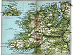
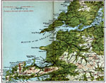
County Donegal,
1908 |
|
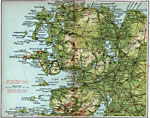
County Mayo,
1908 |
|
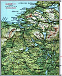
Sligo and Leitrim,
1908 |
|
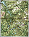
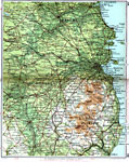
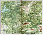
Cavan and Monaghan,
1908 |
|
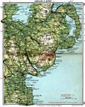
Armagh and Down,
1908 |
|
Dublin and Wicklow,
1908 |
|
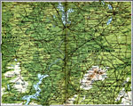
King's County,
1908 |
|
Galway and Connemara,
1908 |
|
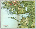
Tralee and Kilkee,
1908 |
|
Limerick and Tipperary,
1908 |
| First | Previous | Next | Last |
| Maps > Europe > Ireland |
Maps ETC is a part of the Educational Technology Clearinghouse
Produced by the Florida Center for Instructional Technology © 2009
College of Education, University of South Florida