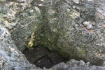
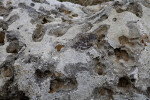
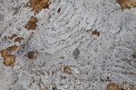
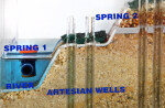
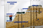
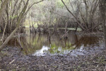
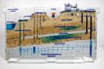
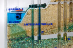
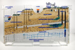
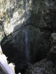
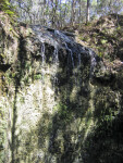
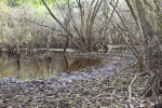
Groundwater Model
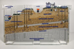
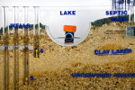
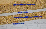
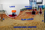
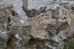
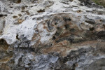
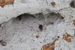
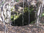
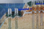
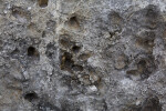
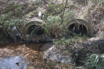
This photo gallery supports classroom activities related to the SWFWMD podcast, "A Model of Florida's Groundwater." The groundwater model is a clear acrylic model that shows a cut-away view of how water moves underground in Florida. The photographs of the model can be used by a teacher to orient students before the model is used in the classroom. After the model is used to demonstrate groundwater principles, students can use the photos in their reports, projects, and other activities. Related real-world photos are also included.
Individual Pictures (28)