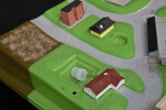
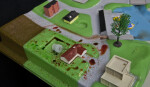
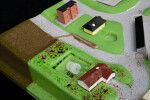
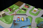
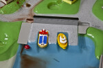
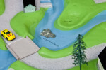
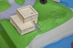
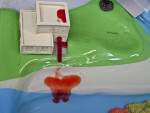
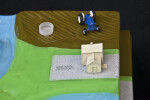
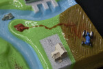
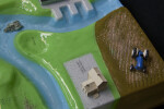
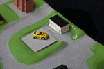
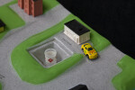
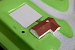
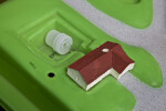
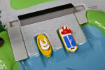
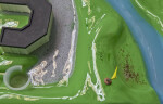
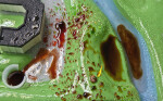
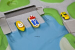
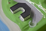
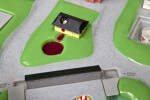
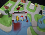
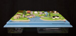
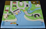
Watershed Model
This photo gallery supports classroom activities related to the SWFWMD podcast, "Using a Model to Learn about Watersheds." The watershed model is a plastic replica of a small coastal community. Several dozen activities can be done with the model to demonstrate how contaminates can get into surface or groundwater. The photos in this gallery can be used by a teacher to prepare a class for activities using the watershed model or they can be used by students for an activity in response to a demonstration of the model. This is one of several models used by the Southwest Florida Water Management District to teach important water resource concepts.
Individual Pictures (25)