Maps Site map
  Maps > Asia > Philippines
Site Map  

  Record   11   to   20  of   25

A collection of historic and contemporary political and physical maps of the Philippine Islands, including colonial period maps, for use in the K-12 classroom.
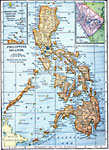
Philippine Islands, 1909
A map from 1909 of the Philippine Islands from Luzon in the north to the Sulu (or Jolo) Archipelago in the south, and including the islands of Mindanao, Negrosa, Bohol, Cebu, Leyte, Panay, Samar, Paragua, Mindoro, and Luzon.. The map shows major citi...

Philippine Islands, 1911
A map from 1911 of the Philippine Islands, showing the major islands, cities, coastal features, and surrounding seas. The map shows the railway from Manila to Dagupan on the Lingayen Gulf (Luzon)....

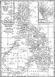
Philippine Islands, 1912
A map from 1912 of the Philippine Islands showing cities, waterways, mountain ranges, and railways. Includes insert maps of the Batan and Babuyan Islands and the city of Manila....

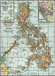
Philippine Islands, 1912
A map from 1912 of the Philippine Islands, showing the major islands, cities, coastal features, and surrounding seas. The map shows the railways on Luzon at the time, including the route from Manila to Lingayen in the north, and from Manila to Batang...

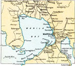
Manila Bay, 1912
A map from 1912 of the Manila Bay area of the Philippines. The map shows the capital city of Manila, railways, rivers draining into Manila Bay (including the Pasig and Pampanga), the freshwater lake Laguna de Bay, and neighboring cities and towns, in...

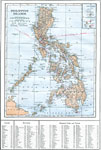
Philippine Islands, 1914
A map from 1914 of the Philippine Islands. The map shows the major islands and surrounding seas, cities, towns, and ports, railroads, submarine telegraph cables to Hong Kong, Guam, San Francisco, and through the islands, province boundaries at the ti...

Manila, 1919
A map from 1919 of the area around Manila, Philippines, from Manila bay in the north to Semirara Island in the south. The map shows the numerous islands, mountains (volcanoes), cities, and coastal features in the area, including Mindoro Island, Tabla...

Philippine Islands, 1920
A map from 1920 of the Philippine Islands from Luzon in the north to the Sulu (or Jolo) Archipelago in the south, and including the islands of Mindanao, Negrosa, Bohol, Cebu, Leyte, Panay, Samar, Paragua, Mindoro, and Luzon.. The map shows major citi...

Manila, 1920
A city plan of Manila, Philippines, in 1920. The map shows the municipal boundary with the province of Rizal at he time, major thoroughfares, the Pasig River, the old city walls around the Intramuros District, and the districts of Binondo (China Town...

Economic and Commercial Activity in the Philippine Islands, 1920
A map from 1920 of the Philippine Islands showing the principal commercial products in the region, with the products named in red. The map shows major cities and chief seaports, railroads, navigable rivers, islands and coastal features. The map is co...

First Previous Next Last


  Maps > Asia > Philippines
Site Map  

Maps ETC is a part of the Educational Technology Clearinghouse
Produced by the Florida Center for Instructional Technology © 2009
College of Education, University of South Florida