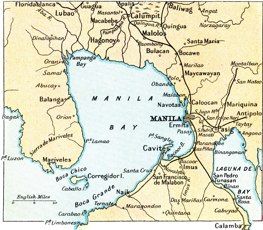
Description: A map from 1912 of the Manila Bay area of the Philippines. The map shows the capital city of Manila, railways, rivers draining into Manila Bay (including the Pasig and Pampanga), the freshwater lake Laguna de Bay, and neighboring cities and towns, including Floridablanca, Lubao, Apalit, Baliwag, Calumpit, Macabebe, Hagonoy, Malolos, Maycawayon, Montalbon, Caloocan, Antipolo, Mariveles, Pasig, Cavite, Naik, Imus, San Francisco de Malabon, San Pedro Tunasan, and Calamba.
Place Names: Philippines, Manil
ISO Topic Categories: society
Keywords: Manila Bay, political, �physical, �transportation, physical features, railroads, society, Unknown, 1912
Source: Ernest Rhys, Ed., A Literary and Historical Atlas of Asia (New York, NY: E.P. Dutton & CO., 1912) 87
Map Credit: Courtesy the private collection of Roy Winkelman |
|