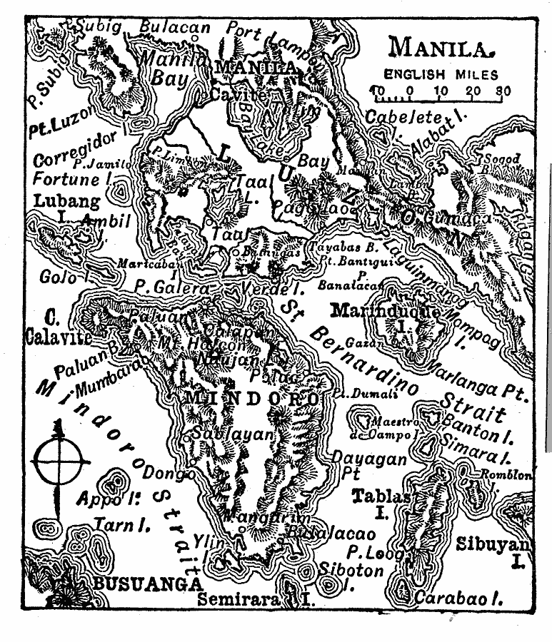
Description: A map from 1919 of the area around Manila, Philippines, from Manila bay in the north to Semirara Island in the south. The map shows the numerous islands, mountains (volcanoes), cities, and coastal features in the area, including Mindoro Island, Tablas Island, St. Bernardino Strait, Mindoro Strait, Mt. Halcon, Port Lampon, and Bulalacao.
Place Names: Philippines, Manil
ISO Topic Categories: location,
oceans,
inlandWaters
Keywords: Manila, physical, �political, physical features, local jurisdictions, location,
oceans,
inlandWaters, Unknown, 1919
Source: Charles Morris, Winston's Cumulative Encyclopedia Vol 6 (Philadelphia, PA: The John C. Winston Company, 1919) tab 11
Map Credit: Courtesy the private collection of Roy Winkelman |
|
