|
|
|
| Maps > Globes & Multi-Continent > Regional Maps >Regional Americas |
Regional Globes & Multi-Continental maps of the Regional Americas region from the Maps ETC collection. This may include physical and political maps, early history and empires, climate maps, relief maps, vegetation maps, population density and distribution maps, cultural maps, and economic/resource maps.
|
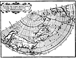
Loc's Map of the New World,
1582 |
|
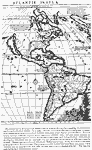
Hakluyt-Martyr Map of New World,
1587 |
|
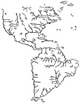
Atlantis Insula,
1600 |
|
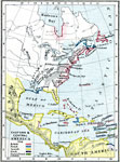
Eastern North America, Caribbean, and Central America,
1755 |
|
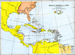
West Indies,
1763 |
|
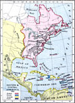
Eastern North America, Caribbean, and Central America,
1763 |
|
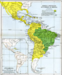
Spanish and Portuguese Settlements in America,
1792–1870 |
|
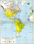
European Colonies and Dependencies of the Western World,
1815 |
|
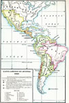
Latin American States,
1823 |
|
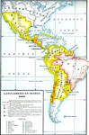
Latin American States,
1823 |
| First | Previous | Next | Last |
| Maps > Globes & Multi-Continent > Regional Maps >Regional Americas |
Maps
is a part of the
Educational Technology Clearinghouse
Produced by the
Florida Center for Instructional Technology
© 2009
College of Education
,
University of South Florida