|
|
|
| Maps > Globes & Multi-Continent > Regional Maps >Regional Americas |
Regional Globes & Multi-Continental maps of the Regional Americas region from the Maps ETC collection. This may include physical and political maps, early history and empires, climate maps, relief maps, vegetation maps, population density and distribution maps, cultural maps, and economic/resource maps.
|
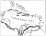
West India Island Chains,
1873 |
|
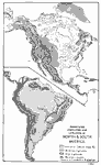
Mountains, Highlands, and Lowlands of the Western Hemisphere,
1888 |
|
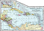
Central America and the West Indies,
1902 |
|
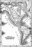
North and South America,
1902 |
|
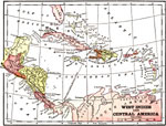
West Indies and Central America,
1904 |
|
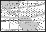
Trade Winds of the Americas in Summer,
1910 |
|
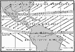
Trade Winds of the Americas in Winter,
1910 |
|
Rainfall in the Americas,
1910 |

|
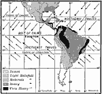
Trade Wind Belts in Summer,
1910 |

|
Trade Wind Belts in Winter,
1910 |
| First | Previous | Next | Last |
| Maps > Globes & Multi-Continent > Regional Maps >Regional Americas |
Maps
is a part of the
Educational Technology Clearinghouse
Produced by the
Florida Center for Instructional Technology
© 2009
College of Education
,
University of South Florida