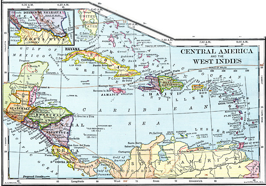
Description: Map of Central America and the West Indies.
Place Names: Regional Americas, Belize, �Costa Rica, �Cuba, �Guatemala, �Haiti, �Honduras, �Jamaica, �Nicaragua, �Puerto Rico, �Salvador, �Afric
ISO Topic Categories: borders, �historical, �transportation, �meteorological, kWorldAmericas
Keywords: Central America and the West Indies, borders, �historical, �transportation, �meteorological, physical features, water routes, climate, borders, �historical, �transportation, �meteorological, kWorldAmericas, Unknown, 1902
Source: H. Justin Roddy, Complete Geography (New York, NY: American Book Company, 1902) 76
Map Credit: Courtesy the private collection of Roy Winkelman |
|