Maps Site map
  Maps > North America > Complete Maps
Site Map  

  Record   71   to   80  of   90

Historic and contemporary maps of North America, including physical and political maps, early exploration maps, colonization period, Native American distribution, climate maps, relief maps, population density and distribution maps, vegetation maps, and economic/resource maps.
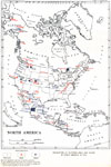
Production of Platinum, Gold, and Silver in North America, 1913
"Production of platinum, gold, and silver in North America in 1913... Each dot represents 1 per cent of world's production. A cross represents less than 1/2 per cent of world's production. In Mexico all producing districts are indicated by cros...

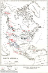
Production of Copper, Lead, and Zinc in North America, 1913
"Production and consumption of copper, lead, and zinc in North America in 1913... Each dot represents 1 per cent of world's production. A cross represents less than 1/2 per cent of world's production. In Mexico all lead producing districts are ...

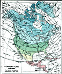
A Complete Map of North America, 1915
A map from 1915 of North America showing average temperatures for the month of January, given in degrees Fahrenheit....

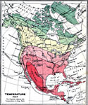
A Complete Map of North America, 1915
A map from 1915 of North America showing average temperatures for the month of July, given in degrees Fahrenheit....

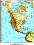
North America, 1915
North America including Canada, the United States, Mexico, Caribbean islands, Central America and a portion of South America, showing physical features....

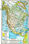
North America, 1916
A map from 1916 of North America, Central America, Greenland, and the Caribbean to Puerto Rico showing land elevations, water depths, and isothermal lines of mean temperatures for January and July. The map uses color–contouring to show land ele...

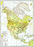
Economic Activity in North America, 1916
A map from 1916 of North America showing the economic production areas of the region. This map is color–coded to show industrial districts, productive, and non–productive regions. The map shows the principal extraction areas for coal, iro...

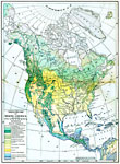
Vegetation of North America, 1916
A map from 1916 of North America, Central America, Greenland, and the Caribbean to Puerto Rico showing the general distribution of vegetation types in the region. The map is color–coded to show natural vegetation in areas of ice desert, tundra,...

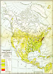
Population Distribution of North America, 1916
A map from 1916 of North America, Central America, Greenland, and the Caribbean to Puerto Rico showing the population distribution at the time. The map is color–coded to show areas where the population density ranges from under 1 inhabitant per...

North America, 1916
A map from 1916 of North America, Central America, Greenland, and the Caribbean to Puerto Rico showing the political borders at the time, capitals and major cities, existing and proposed railroads, rivers, and coastal features....

First Previous Next Last


  Maps > North America > Complete Maps
Site Map  

Maps ETC is a part of the Educational Technology Clearinghouse
Produced by the Florida Center for Instructional Technology © 2009
College of Education, University of South Florida