Maps Site map
  Maps > North America > Complete Maps
Site Map  

  Record   81   to   90  of   90

Historic and contemporary maps of North America, including physical and political maps, early exploration maps, colonization period, Native American distribution, climate maps, relief maps, population density and distribution maps, vegetation maps, and economic/resource maps.
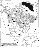
North American Ice Sheets, 1916
A map from 1916 of North America showing the extent of the ice sheets in the glacial period, the direction of glacial movement, and the extent of the ice sheets and glaciers in 1916. The map shows the present ice sheet of Greenland, the glaciers of B...

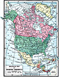
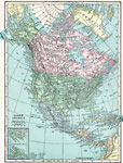
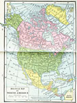
North America, 1919
A map from 1919 of North America, Central America, Greenland, and the Caribbean to Puerto Rico showing the political borders at the time, capitals and major cities, rivers, and coastal features....

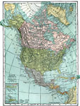
North America, 1920
A map from 1920 of North America showing territory borders, capitals, state capitals, major cities and ports, railways, submarine cable routes, mountain systems, lakes, rivers, and coastal features. An inset map details the Caribbean islands of St. T...

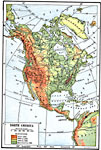
North America, 1920
A map from 1920 of North America, Central America, Greenland, and the Caribbean showing general land elevations, water and principal terrain features. The map uses color–contouring to show land elevations from sea level to over 4000 feet. The p...

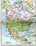
North America, 1920
A map from 1920 of North America, Central America, and Caribbean showing political boundaries, major cities, railroads, steamship routes with distances between major ports given, rivers, and coastal features....

North America, 1920
A map from 1920 of North America, Central America, Greenland, and Caribbean showing national, state, and province boundaries, capitals and major cities, railroads, submarine telegraph cables, mountain systems, rivers, and coastal features. Inset maps...

North America, 1920
A map from 1920 of North America, Central America, Greenland, and Caribbean showing national, state, and province boundaries, capitals and major cities, railroads, submarine telegraph cables, mountain systems, rivers, and coastal features. Inset maps...

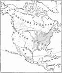
Population Distribution of North America, 1921
A base map from 1921 of North America, Central America, and the Caribbean showing the general population distribution in Alaska, Greenland, Dominion of Canada, United States, Mexico, and Central America at the time. People are most numerous where the...

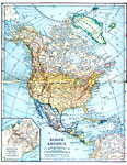
North America, 1921
A map from 1921 of North America, Central America, Greenland, and the Caribbean showing political borders, capitals and major cities, railroads, canals, mountain systems, lakes, rivers, islands, and coastal features of the region. An inset map detail...

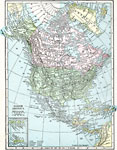
North America, 1922
A map from 1922 of North America, Central America, Greenland, and the Caribbean to Puerto Rico showing the political borders at the time, capitals and major cities, rivers, and coastal features....

First Previous


  Maps > North America > Complete Maps
Site Map  

Maps ETC is a part of the Educational Technology Clearinghouse
Produced by the Florida Center for Instructional Technology © 2009
College of Education, University of South Florida