|
|
|
| Maps > North America > Regional Maps |
Regional maps of North America, which include several selections of countries and nations displaying physical and political features, economy, discovery, and more.
|
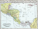
Central America,
1920 |
|
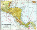
Central America,
1920 |
|
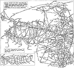
Automobile Routes of New York and Vicinities to the North,
1920 |
|
Automobile Routes of the Great Lake Vicinity,
1920 |
|
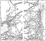
Roads Routes along the Canada and New York Border,
1920 |
|
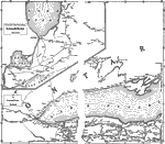
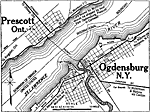
Prescott, Ontario and Ogdensburg, New York,
1920 |
|
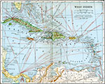
The West Indies,
1920 |
|
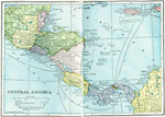
Central America,
1922 |
|
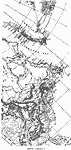
Norse America,
861–1285 |
|
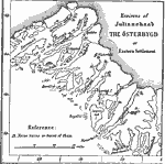
Eastern Settlement of the Norse in Greenland,
AD 1000 |
| First | Previous | Next | Last |
| Maps > North America > Regional Maps |
Maps ETC is a part of the Educational Technology Clearinghouse
Produced by the Florida Center for Instructional Technology © 2009
College of Education, University of South Florida