|
|
|
| Maps > North America > Regional Maps |
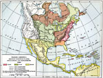
Regional maps of North America, which include several selections of countries and nations displaying physical and political features, economy, discovery, and more.
|
Colonial Bounds,
1656 |
|
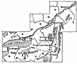
Lands of the Duke of York,
1664 |
|
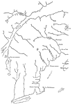
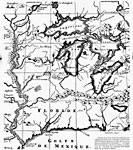
French Explorations of the Mississippi,
1673–1682 |
|
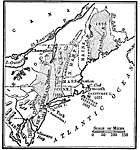
New England,
1680 |
|
North America,
1689 |
|
The Northeast,
1689–1713 |
|
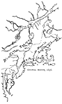
The Mississippi River Route of Hennepin,
1697 |
|
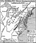
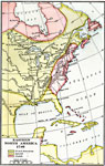
The British Colonies in North America,
1700–1760 |
|
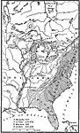
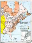
French Expansion and British Conquests in North America ,
1700–1763 |
|
Early Possessions in Eastern North America,
1740 |
| First | Previous | Next | Last |
| Maps > North America > Regional Maps |
Maps ETC is a part of the Educational Technology Clearinghouse
Produced by the Florida Center for Instructional Technology © 2009
College of Education, University of South Florida