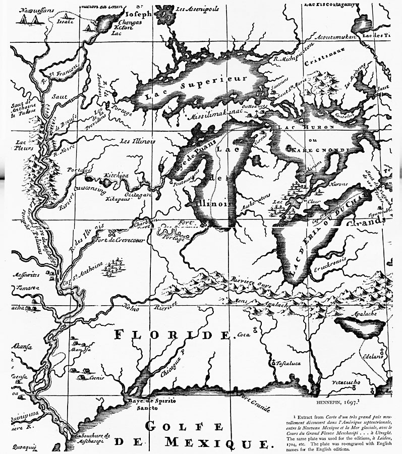
Description: A facsimile of a portion of the map created in 1697 describing the exploration and discoveries of Father Louis Hennepin in New France and Along the Mississippi. The map shows the region from the Great Lakes to the Gulf of Mexico along the Mississippi River Valley, and shows the route of Hennepin, forts, settlements, tribal villages, river portages, churches, and missions.
Place Names: A Regional Map of North America, Canada, �Mexico, �United State
ISO Topic Categories: oceans,
location,
inlandWaters
Keywords: The Mississippi River Route of Hennepin, physical, kEarlyMapsFacsimile, oceans,
location,
inlandWaters, Unknown, 1697
Source: Justin Winsor, Narrative and Critical History of America (vol. 4) (Boston, MA: Houghton, Mifflin, and Company, 1884) 252-253
Map Credit: Courtesy the private collection of Roy Winkelman |
|