|
|
|
| Maps > Polar Region > Antarctica |
A collection of historic and contemporary maps of Antarctica, including early exploration, for use in the K-12 classroom.
|
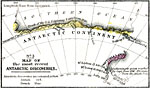
Map of the Most Recent Antarctic Discoveries,
1840–1841 |
|
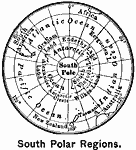
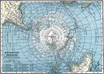
South Polar Region,
1899 |
|
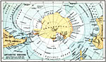
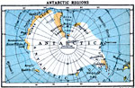
Antarctic Regions,
1911 |
|
Exploration of the Antarctic Regions,
1912 |
|
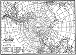
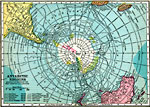
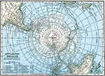
Antarctic Regions,
1919 |
|
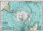
Antarctic Regions,
1920 |
|
Exploration of the Antarctic Regions,
1920 |
|
Exploration of the Antarctic Regions,
1920 |
|
Antarctic Regions showing the routes of the most important explorations,
1920 |
|
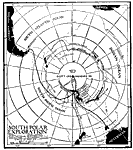
South Polar Exploration,
1921 |
| Next | Last |
| Maps > Polar Region > Antarctica |
Maps ETC is a part of the Educational Technology Clearinghouse
Produced by the Florida Center for Instructional Technology © 2009
College of Education, University of South Florida