| Maps > United States > Illinois |
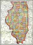 |
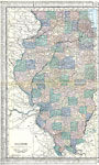
, Map showing state of Illinois, shows counties and county seats. |
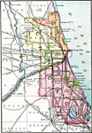 |
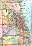
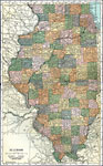
Chicago and Vicinity, Map showing state of Illinois, shows counties and county seats. |
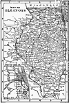 |
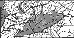
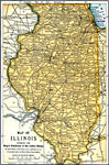
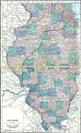
Map of Illinois, Map of Illinois. |
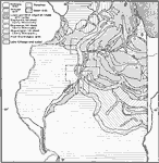 |
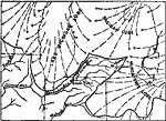
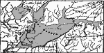
Generalized Glacial Map of Northern Illinois, A generalized glacial map of northern Illinois. |
 |
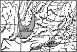
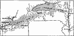
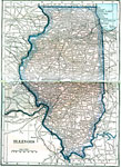
Mississippi, A map showing the old and new channels of the Mississippi at the upper rapids, Fulton, Ill. |
 |
Drainage History of the Southern Great Lake District, A map showing the drainage history of the southern Great Lake district. Position of glacial lakes before lakes were formed. |
 |
Drainage History of the Southern Great Lake District, A map showing the drainage history of the southern Great Lake district. Beginning of Lake Chicago. |
 |
Drainage History of the Southern Great Lake District, A map showing the drainage history of the southern Great Lake district. Later stage in retreat of ice and expansion of proglacial lakes. |
 |
Drainage History of the Southern Great Lake District, A map showing the drainage history of the southern Great Lake district. Later stage in retreat of ice and expansion of proglacial lakes. |
 |
Drainage History of the Southern Great Lake District, A map showing the drainage history of the southern Great Lake district. Later stage in retreat of ice and expansion of proglacial lakes. |
 |
Drainage History of the Southern Great Lake District, A map showing the drainage history of the southern Great Lake district. Retreat of ice from Mohawk valley and discharge of proglacial lakes down the Hudson. |
 |
Drainage History of the Southern Great Lake District, A map showing the drainage history of the southern Great Lake district. Present drainage. |
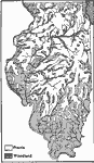 |
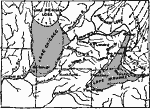
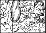
Prairie and Woodland in Illinois, A map of the original distribution of prairie and woodland in Illinois. |
 |
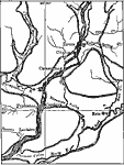
Chicago Vicinity, 1883 Chicago and vicinity. |
 |
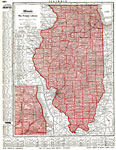
Illinois, 1891 A map of Illinois in 1891. |
 |
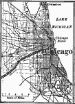
Chicago and Vicinity, 1901 Map of Chicago and its vicinity. |
 |
Map of Chicago, 1903, 1903 A map of Chicago in 1903. |
 |
Illinois, 1906 Map of Illinois in 1906. |
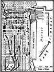 |
Chicago Business Center, 1909 A map of the business center of Chicago in 1909. |
 |
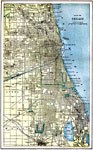
Chicago and Vicinity, 1909 A map of Chicago and its surrounding vicinity in 1909. |
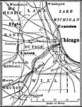 |
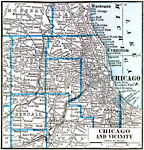
Chicago and Surrounding Counties, 1909 A map of Chicago and the surrounding counties in 1909. |
 |
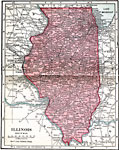
Illinois, 1912 A map of Illinois in 1912. |
 |
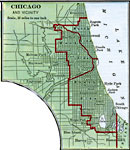
Chicago and Vicinity, 1916 A map Chicago and the surrounding vicinity in 1916. |
 |
Illinois, 1919 A map of Illinois in 1919, showing railway routes and cities. |
 |
Illinois, 1920 Map of Illinois. |
 |
Illinois, 1920 Physical map of Illinois. |
 |
Illinois, 1920 The state of Illinois. |
 |
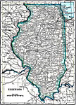
Illinois, 1922 Physical map of Illinois. |
 |
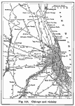
Chicago, 1922 Chicago and neighboring counties. |
| Maps > United States > Illinois |
Maps is a part of the Educational Technology Clearinghouse
Produced by the Florida Center for Instructional Technology © 2007
College of Education, University of South Florida