|
|
|
| Maps > United States > Growth of Nation |
A collection of historic maps of territorial acquisitions and growth of the United States for use in the K-12 classroom.
|
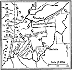
The Northwest Territory,
1802 |
|
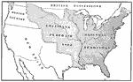
Louisiana Purchase,
1803 |
|
The United States After the Louisiana Purchase,
1803 |
|
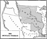
The Louisiana Purchase,
1803 |
|
The Expansion Resulting from the Louisiana Purchase,
1803 |
|
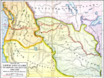
Route of Lewis and Clark,
1803–1806 |
|
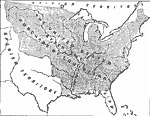
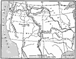
Western Explorations,
1803–1807 |

|
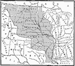
The Louisiana Purchase,
1803–1809 |
|
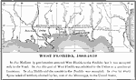
West Florida,
1803–1819 |
|
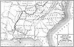
Route of Aaron Burr,
1806–1807 |
| First | Previous | Next | Last |
| Maps > United States > Growth of Nation |
Maps ETC is a part of the Educational Technology Clearinghouse
Produced by the Florida Center for Instructional Technology © 2009
College of Education, University of South Florida