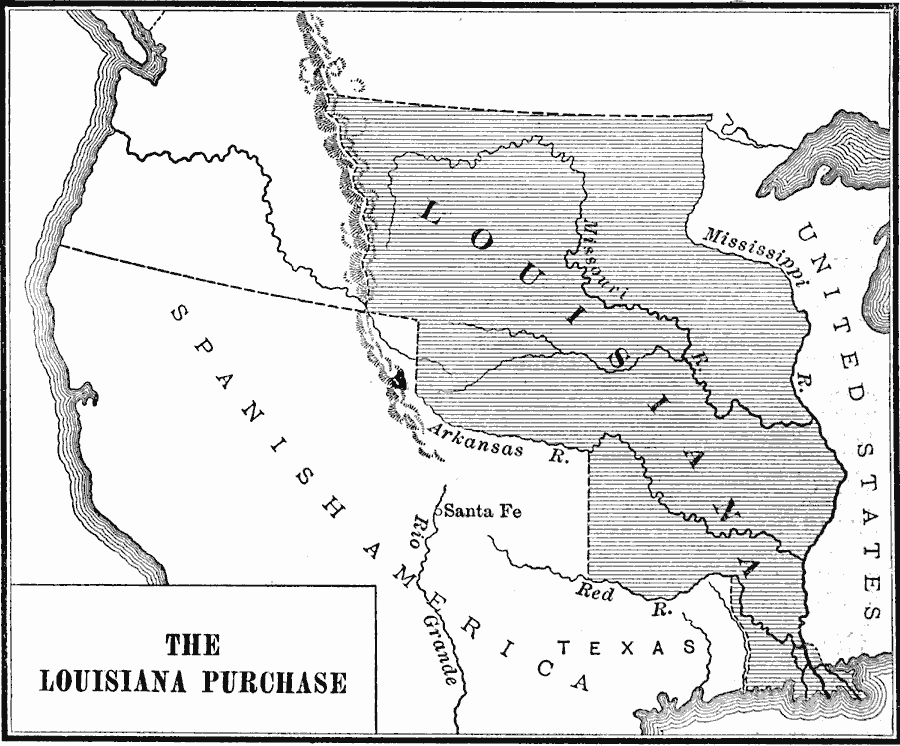
Description: A map of the Louisiana territory purchased from France in 1803, and the boundary established with the western Spanish territory by the purchase.
Place Names: Growth of Nation, Louisiana Purchas
ISO Topic Categories: boundaries,
inlandWaters,
location,
oceans
Keywords: Louisiana Purchase, physical, �political, physical features, major political subdivisions, boundaries,
inlandWaters,
location,
oceans, Unknown, 1803
Source: Charles Kendall Adams, A History of the United States (Boston, MA: Allyn and Bacon, 1909) 217
Map Credit: Courtesy the private collection of Roy Winkelman |
|