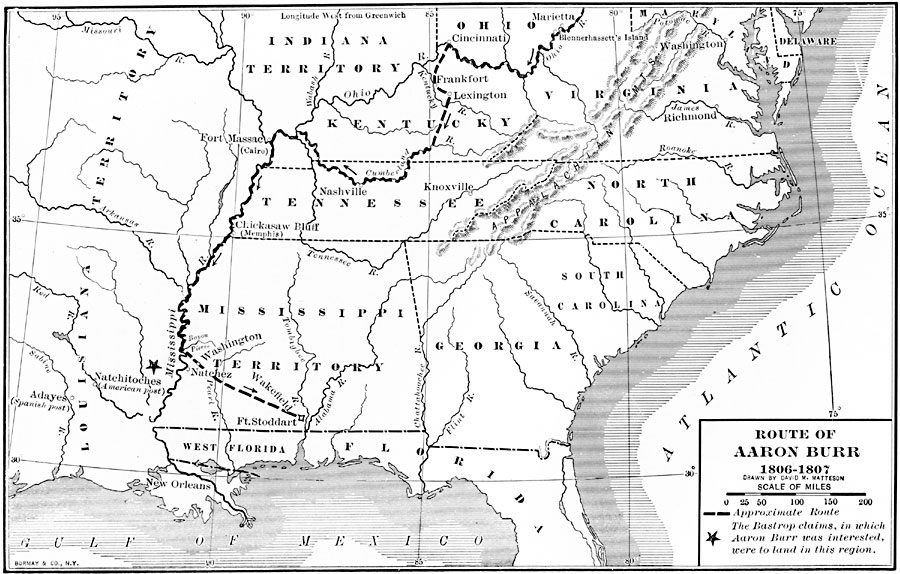
Description: A map of the route of the Aaron Burr Expedition (1806–1807), showing his route from Blennerhassett Island near Marietta to Fort Stoddart in the Mississippi Territory. The map shows the Bastrop land claims near Natchez, which were of interest to Burr in his plans for opening the territory to settlement.
Place Names: Growth of Nation, Washington D.C., �Richmond, �New Orlean
ISO Topic Categories: transportation,
inlandWaters,
location,
oceans,
boundaries,
intelligenceMilitary
Keywords: Route of Aaron Burr, physical, �political, �transportation, physical features, major political subdivisions, transportation,
inlandWaters,
location,
oceans,
boundaries,
intelligenceMilitary, Unknown, 1806–1807
Source: Albert Bushnell Hart, LL.D., The American Nation Vol 12 (New York, NY: Harper and Brothers, 1906) 160
Map Credit: Courtesy the private collection of Roy Winkelman |
|