|
|
|
| Maps > United States > New York |
A collection of historic and contemporary political and physical maps of New York, including early exploration and settlement maps, Revolutionary War maps, geophysical maps, and automobile route maps.
|
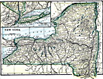
New York,
1919 |
|
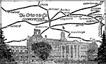
Chain of Fireproof Hotels,
1919 |
|
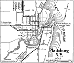
Plattsburg,
1919 |
|
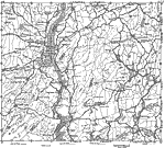
Southern New York,
1919 |
|
New York along the Hudson River,
1919 |
|
Albany and Vicinity,
1919 |
|
New York,
1919 |
|
Eastern New York,
1919 |
|
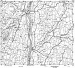
New York along the Hudson River,
1919 |
|
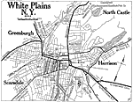
White Plains, New York,
1919 |
| First | Previous | Next | Last |
| Maps > United States > New York |
Maps ETC is a part of the Educational Technology Clearinghouse
Produced by the Florida Center for Instructional Technology © 2009
College of Education, University of South Florida