Maps Site map
  Maps > United States > New York
Site Map  

  Record   81   to   90  of   160

A collection of historic and contemporary political and physical maps of New York, including early exploration and settlement maps, Revolutionary War maps, geophysical maps, and automobile route maps.
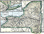
New York, 1919
A map from 1919 of New York showing the capital of Albany, principal cities and towns, railroads, canals, mountains, lakes, and rivers. Inset map details Long Island....

Chain of Fireproof Hotels, 1919
A chain of complete fireproof hotels in the Northeast around 1919. ...

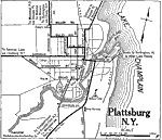
Plattsburg, 1919
A road map of Plattsburg, New York, from the Official Automobile Blue Book (1919), showing Lake Champlain and Saranac River, principal roads, railroad and station, bridges, and major landmarks....

Southern New York, 1919
A road map of New York in the vicinity of West Point and Peekskill from the Official Automobile Blue Book (1919), showing county lines, principal cities and towns, rivers, and is keyed to show the best auto routes, other auto routes, unreported roads...

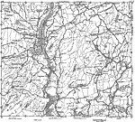
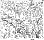
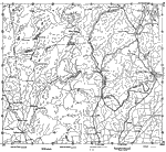
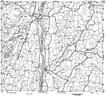
New York along the Hudson River, 1919
A road map of New York along the Hudson River from Coxsackie to Berrytown, from the Official Automobile Blue Book (1919), showing county lines, principal cities and towns, rivers, and is keyed to show the best auto routes, other auto routes, unreport...

Albany and Vicinity, 1919
A road map of New York in the vicinity of Albany from the Official Automobile Blue Book (1919), showing county lines, principal cities and towns, rivers, and is keyed to show the best auto routes, other auto routes, unreported roads, railroads, and c...

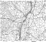
New York, 1919
A road map of New York in the vicinity of Schenectady and Saratoga Springs from the Official Automobile Blue Book (1919), showing county lines, principal cities and towns, rivers, and is keyed to show the best auto routes, other auto routes, unreport...

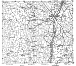
Eastern New York, 1919
A road map of New York in the vicinity of Glens Falls from the Official Automobile Blue Book (1919), showing county lines, principal cities and towns, rivers, and is keyed to show the best auto routes, other auto routes, unreported roads, railroads, ...

New York along the Hudson River, 1919
A road map of New York along the Hudson River from Kingston to Poughkeepsie, from the Official Automobile Blue Book (1919), showing county lines, principal cities and towns, rivers, and is keyed to show the best auto routes, other auto routes, unrepo...

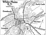
White Plains, New York, 1919
A road map of White Plains, New York, from the Official Automobile Blue Book (1919), showing the principal roads, railroads and stations, parks, cemeteries, and major landmarks....

First Previous Next Last


  Maps > United States > New York
Site Map  

Maps ETC is a part of the Educational Technology Clearinghouse
Produced by the Florida Center for Instructional Technology © 2009
College of Education, University of South Florida