| Maps > United States > North Carolina |
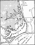 |
Albemarle and Pamlico Sounds, A map of Albemarle and Pamlico Sounds and bordering sand reefs, east coast of North Carolina. |
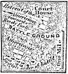 |
Battle of Guildford Court House, 1781 A map showing the Battle of Guildford Court House during the American Revolution. |
 |
Wilmington, 1864 A map showing Wilmington, North Carolina. |
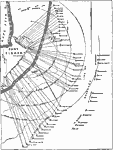 |
Bombardment of Fort Fisher, 1865 A map showing a plan of the Second Battle of Fort Fisher, in which Union forces successfully captured the fort. |
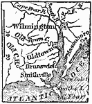 |
Vicinity of Wilmington, 1872 Wilmington, the principal seaport in North Carolina, is situated on the east side of Cape Fear River, twenty-five miles from the ocean, by way of Cape Fear, and 150 miles N.E. from Charleston. |
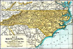 |
North Carolina, 1891 A map of North Carolina in 1891. |
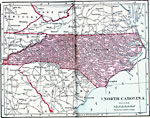 |
North Carolina, 1906 Map of North Carolina in 1906. |
 |
The Port of Wilmington, 1909 The Port of Wilmington in North Carolina. |
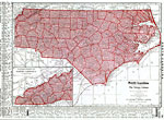 |
North Carolina, 1912 A map of North Carolina in 1912. |
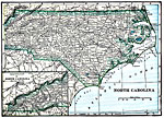 |
North Carolina, 1919 A map of the state of North Carolina, showing cities and railway routes. |
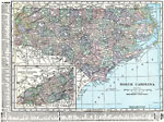 |
North Carolina, 1920 Map of North Carolina. |
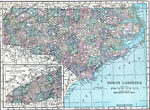 |
North Carolina, 1920 Physical map of North Carolina with a map insert of the western part of North Carolina. |
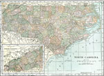 |
North Carolina, 1920 The state of North Carolina. |
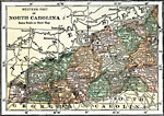 |
Western North Carolina, 1920 The western part of North Carolina. |
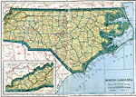 |
North Carolina, Post World War I Map of North Carolina. |
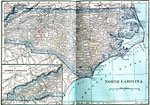 |
North Carolina, 1922 Physical map of North Carolina. |
| Maps > United States > North Carolina |
Maps is a part of the Educational Technology Clearinghouse
Produced by the Florida Center for Instructional Technology © 2007
College of Education, University of South Florida