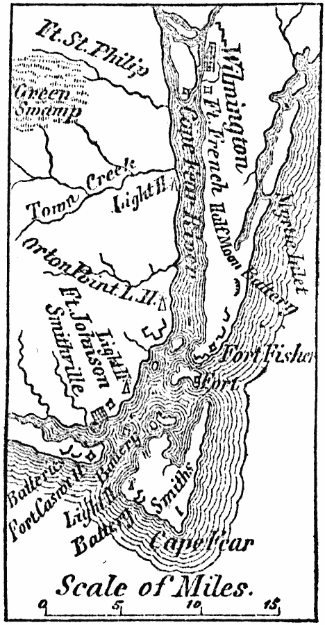
Description: A map of the area around Wilmington, North Carolina, during the American Civil War, showing the nearby forts of Fisher, Johnson, St. Philip, French, and the Half Moon battery.
Place Names: North Carolina, Wilmingto
ISO Topic Categories: boundaries,
inlandWaters,
location,
oceans,
biota
Keywords: Wilmington, physical, �statistical, physical features, vegetation, boundaries,
inlandWaters,
location,
oceans,
biota, Unknown, 1864
Source: Marcius Willson, History of the United States (New York, NY: Ivison, Blakeman, Taylor, and Co., 1872) 426
Map Credit: Courtesy the private collection of Roy Winkelman |
|