|
|
|
| Maps > United States > Regional Maps >Pacific States |
|
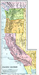
Pacific Section,
1897 |
|
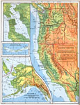
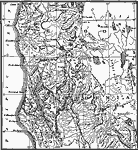
Pacific Section of the United States,
1898 |
|
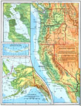
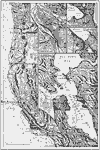
The Pacific States,
1898 |
|
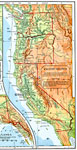
Pacific Section of the United States,
1901 |
|
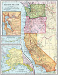
Pacific States,
1902 |
|
San Francisco, Portland, Tacoma, and Seattle,
1910 |
|
Western Pacific Mountain System Boundaries,
1911 |
|
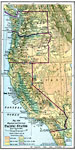
The Pacific States,
1916 |
| Maps > United States > Regional Maps >Pacific States |
Maps
is a part of the
Educational Technology Clearinghouse
Produced by the
Florida Center for Instructional Technology
© 2009
College of Education
,
University of South Florida