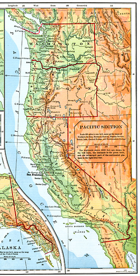
Description: The Pacific section of the United States.
Place Names: Pacific States, Washington, �Idaho, �Oregon, �California, �Nevada, �San Francisco, �Oakland, �Los Angeles, �San Diego, �Portland, �Olympia, �Pacific Ocean, �Pacific States, �West Coast, �Washington Stat
ISO Topic Categories: boundaries,
inlandWaters,
location,
oceans
Keywords: Pacific Section of the United States, physical, �political, physical features,
topographical, country borders,
major political subdivisions, boundaries,
inlandWaters,
location,
oceans, Unknown, 1901
Source: Jacques W. Redway, Natural Advanced Geography (New York, NY: American Book Company, 1901) 88
Map Credit: Courtesy the private collection of Roy Winkelman |
|