|
|
|
| Maps > United States > Regional Maps >Eastern States |

|
Development of Three Peneplains in the Chattanooga District,
1911 |
|
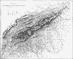
Southern Appalachians,
1911 |
|
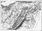
Central Appalachians,
1911 |
|
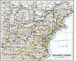
Atlantic States,
1911 |
|
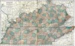
Kentucky and Tennessee,
1920 |
|
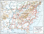
Means of Transit,
March 4, 1861 |
|
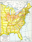
Railroads in Actual Operation ,
October 1860 |
| First | Previous |
| Maps > United States > Regional Maps >Eastern States |
Maps
is a part of the
Educational Technology Clearinghouse
Produced by the
Florida Center for Instructional Technology
© 2009
College of Education
,
University of South Florida