|
|
|
| Maps > United States > Regional Maps >New England States |
|
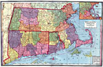
Massachusetts, Rhode Island, and Connecticut,
1872 |
|
New England States,
1882 |
|
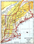
New England,
1883 |
|
New England States,
1888 |
|
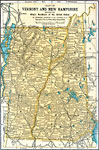
Vermont and New Hampshire,
1891 |
|
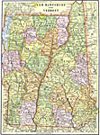
New Hampshire and Vermont,
1892 |
|
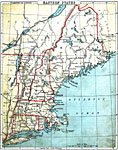
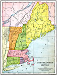
Northeastern Section,
1897 |
|
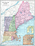
New England States,
1899 |
|
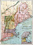
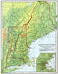
The Northeastern United States,
1901 |
|
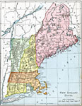
New England States,
1901 |
| First | Previous | Next | Last |
| Maps > United States > Regional Maps >New England States |
Maps
is a part of the
Educational Technology Clearinghouse
Produced by the
Florida Center for Instructional Technology
© 2009
College of Education
,
University of South Florida