Maps Site map
  Maps > United States > Regional Maps >New England States
Site Map  

  Record   1   to   10  of   47

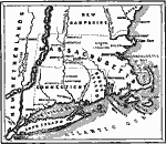
United Colonies of New England, 1643
New England Colonies and part of New Netherlands....

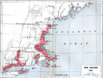
New England, 1652
New England in 1652. ...

Frontier Warfare of New England, 1689–1713
The frontier warfare in New England, from 1689 to 1713. ...

Eastern States, 1859
A map from 1859 of the eastern states of Vermont, New Hampshire, Maine, Massachusetts, Connecticut, and Rhode Island, showing state boundaries, major cities and towns, mountains, rivers, and coastal features. An inset map details Massachusetts Bay an...

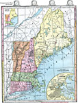
New England States, 1872
Maine, New Hampshire, Vermont, Massachusetts, Rhode Island, and Connecticut. Includes inserts of principal products and of the Boston vicinity. Time zones are provided. Red numbers indicate the rank of cities in population....

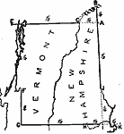
Drawing New Hampshire and Vermont, 1872
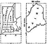
Illustrates instructions for drawing New Hampshire and Vermont....

Drawing Massachusetts, Connecticut, and Rhode Island, 1872
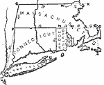
Illustrates instructions for drawing Massachusetts, Connecticut, and Rhode Island....

Relief of New England, 1872
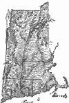
Relief of the New England states....

Size Comparisons of New England States, 1872
Miles are provided to estimate length and width of New England States....

New Hampshire and Vermont, 1872
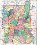
New Hampshire and Vermont, showing physical features. Includes railroads and time zones....

Next Last


  Maps > United States > Regional Maps >New England States
Site Map  

Maps is a part of the Educational Technology Clearinghouse
Produced by the Florida Center for Instructional Technology © 2009
College of Education , University of South Florida